Flood Analysis

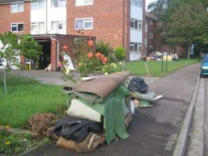
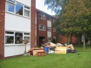
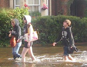
The Abingdon Herald appeared today with five pages of flood pictures.
There has also been the national coverage:
On Tuesay the Daily Telegraph said 'The Thames in Abingdon, Oxon, rose 3ft in less than 12 hours to a "perilously high" level'
In the Independent yesterday 'There was an apocalyptic feeling in the town of Abingdon ...'
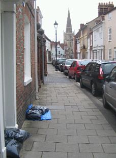
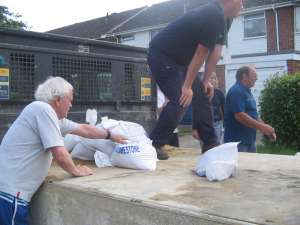
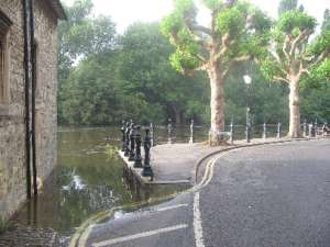
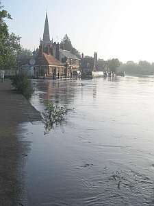
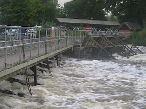
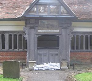
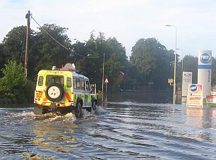
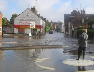
There are still sandbags in the centre of town, some way above the current level of the river. But town people know there is the third town centre river to consider: the River Stert. It runs through an old culvert, and might run awry if pushed back by a high River Thames. Earlier, it too broke its banks upstream.
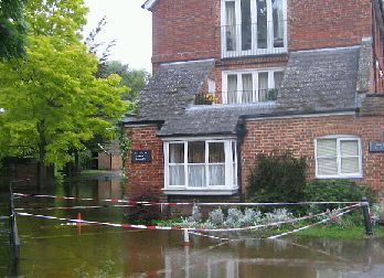
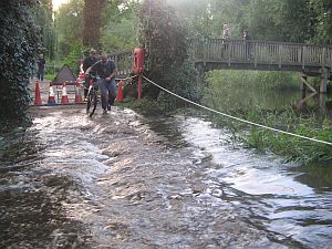
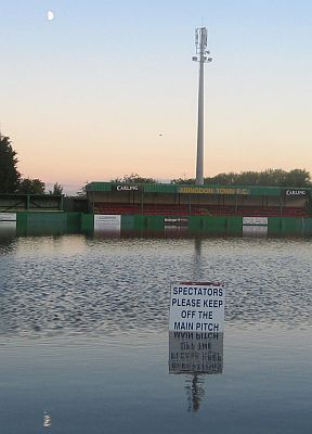
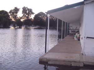
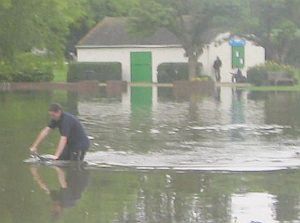
The River Thames is still high today. Water was washing back up the River Ock towards St. Helens Mill - one of the first places to be evacuated at the weekend.
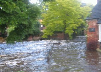
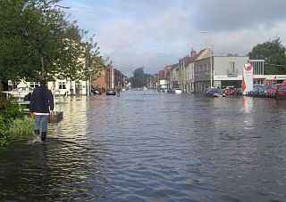
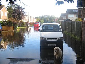
Last weekend the Ock was full of foam and fury. But not now it flows calmly, draining its flood plain.
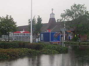
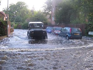
The River Thames is also expected to go down in the next couple of days.

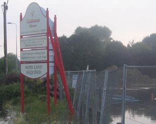
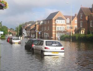
This Environment Agency Map will need to be redrawn. It is the map people are shown when doing local area searches before moving house. The River Ock reached further than places shown as 'extreme flood' on this map, in areas such as: Ock Street, Spring Road, Marcham Road, Mill Road, Wordsworth Road, Coleridge Road, and all round the Ladygrove Estate. Fortuneately, the Thames and Stert did not get to their pale blue extremes.
The trouble is the pattern could be different next time. So the instant reaction is to improve the River Ock defences. Perhaps the re-built Wilts and Berks canal could act as a drainage channel from the Ock to other farmland and the Thames. Who knows? But what if next time a flash flood causes more problems from the River Stert?
posted by Backstreeter | 08:53
|
7 comments
![]()